About this 5-Day Summer School
29 Jun – 3 Jul 2026 • AIMS-Cameroon, Limbe, Cameroon
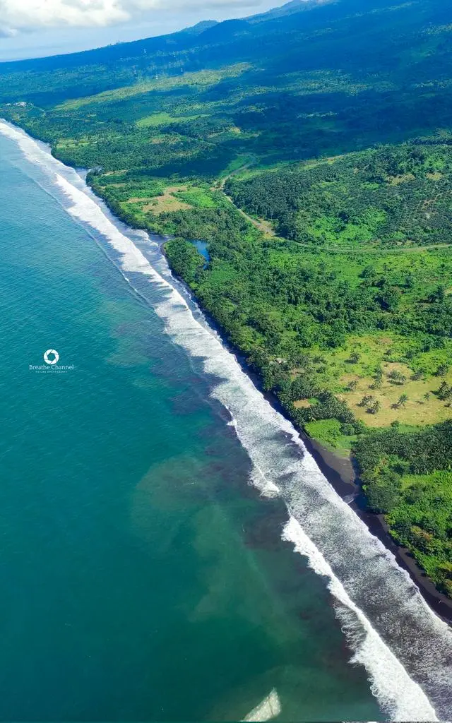
Africa and its Small Island Developing States (SIDS) are on the frontline of climate change, facing both long-term shifts and short-lived but destructive extremes. Marine and inland heatwaves are now more frequent, devastating ecosystems such as mangroves, coral reefs, and seagrasses. Fisheries are collapsing, food security is threatened, and millions are being pushed into vulnerability. Meanwhile, droughts, extreme rainfall, floods, landslides, accelerating sea-level rise, and water scarcity are disrupting the lives and livelihoods of over 1.4 billion people. From the Sahel to the coastal SIDS, every community is feeling the strain, and none can be left behind.
One major barrier to understanding and addressing these changes is the lack of robust in-situ geodetic and oceanographic infrastructure across Africa. The continent has too few rain gauges, GNSS stations, tide gauges, gravimetric sensors, and ocean monitoring systems to capture the full scope of environmental transformation. Without a stable and accessible terrestrial reference frame, even the best satellite data cannot be fully exploited. The result is biased estimates, weaker predictive capacity, and limited ability to design effective, locally relevant adaptation strategies.
Geodesy and its applications through oceanography and climate dynamics provide a powerful path forward. They form the scientific foundation for measuring how the Earth system evolves. By linking land, ocean, atmosphere, and cryosphere into one coherent framework, geodesy allows us to detect sea-level rise, groundwater loss, crustal strain, land subsidence, landslides, and gravity changes with precision. These insights are crucial for anticipating hazards and shaping science-based resilience strategies.
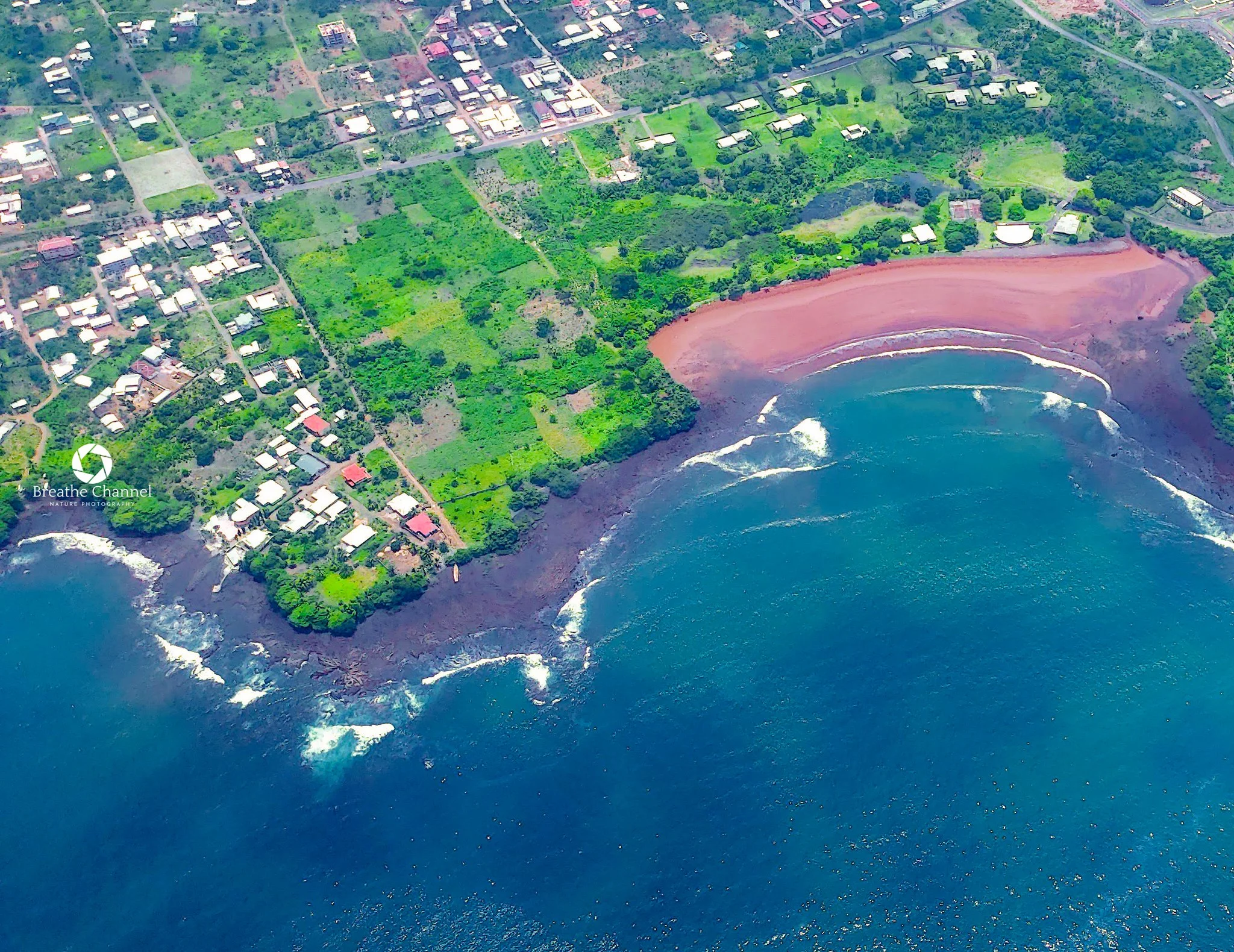
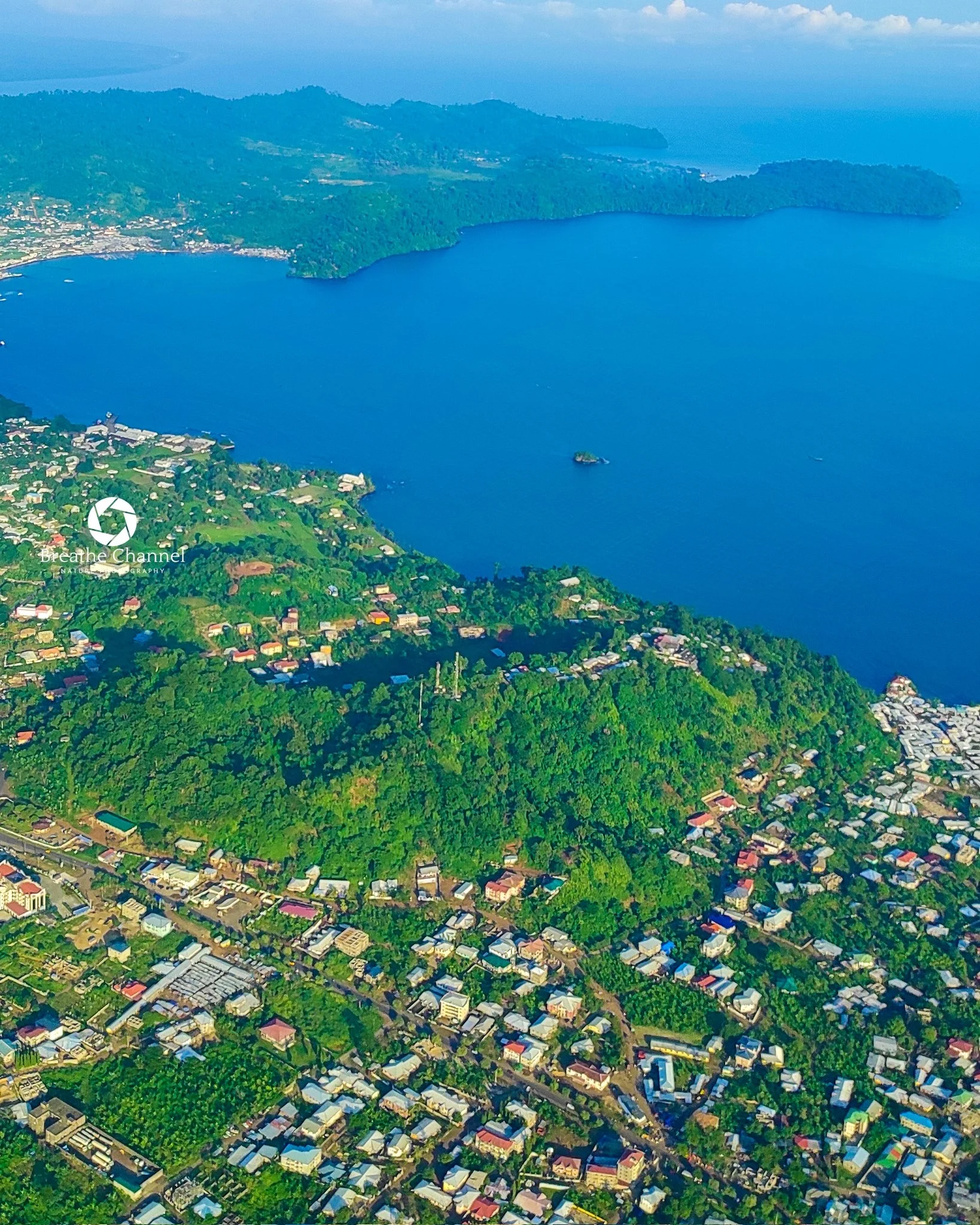
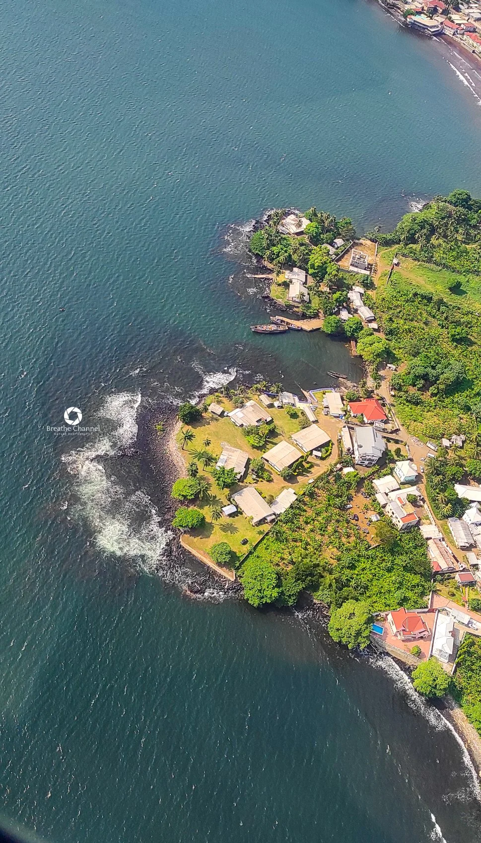
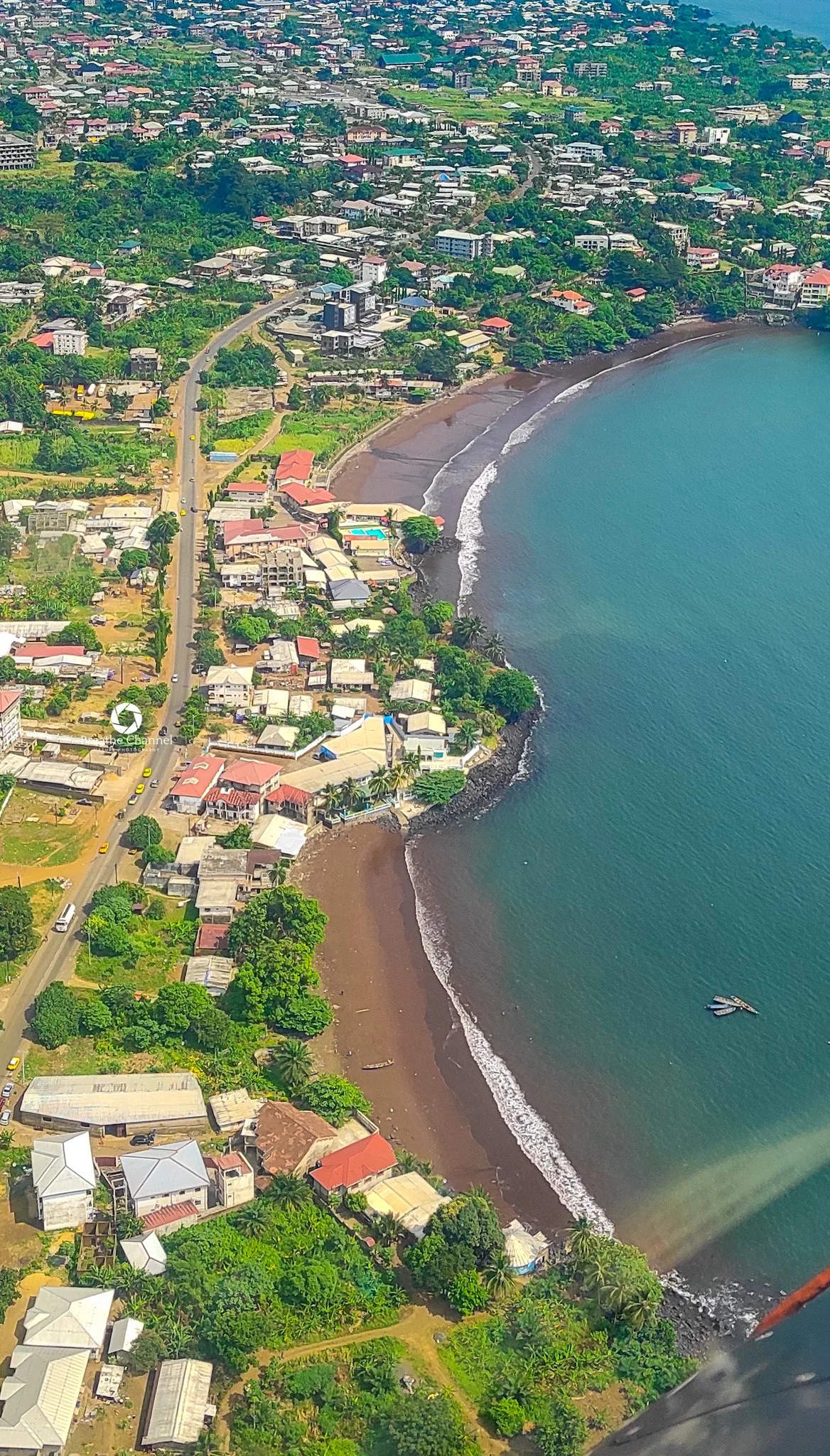
The Africa Geodesy Summer School, the first of its kind for Africa and its SIDS, will be held in limbe, Cameroon, from June 29 to July 3, 2026. The program will primarily train African participants, with possible openings for international candidates, including early- and mid-career researchers, NGO leaders, climate advocates, and policy stakeholders. Through hands-on sessions and exposure to cutting-edge methods, participants will develop advanced skills in satellite data processing, reference frame applications, and geodetic analysis. The goal is simple: equip Africa’s next generation with the tools to understand, monitor, and respond to environmental change.
Ultimately, this Summer School aims to strengthen the scientific and technical capacity of Africa’s research and climate communities. It will foster collaboration, reduce dependence on external expertise, and support the rise of African-led solutions. This is a decisive step toward ensuring that the continent and its island nations can protect their people, resources, and ecosystems in a rapidly changing world
What We Aim to Achieve:
1. Build Essential Capacity:
We will provide hands-on training in state-of-the-art geodetic techniques, including:
Satellite Altimetry: To monitor sea-level rise, tide modelling, river and lake levels for flood forecasting, and marine heatwaves impacting fisheries.
Satellite Gravimetry (GRACE/GRACE-FO): To track changes in groundwater and surface water, enabling better management of droughts and water scarcity.
Global Navigation Satellite Systems (GNSS): To measure land subsidence in rapidly growing coastal cities, monitor crustal deformation for seismic risk, and improve weather forecasting through GNSS meteorology.
Earth Virtual Laboratory (EVL): To intuitively analyze and co-locate diverse Earth Observation datasets for sustainable fisheries management.
2. Foster Inclusive, Pan-African Collaboration:
The school will bring together a diverse, gender-balanced cohort of 30 African trainees. This group will include Master’s students, postdoctoral researchers, and representatives from NGOs and government agencies, all working alongside leading international experts. This collaborative environment is designed to build a lasting regional network dedicated to solving shared challenges.
3. Translate Science into Societal Impact:
Our goal is not just to teach techniques but to apply them. Participants will work on group projects focused on real-world problems in Africa. The outcomes will include the development of policy briefs and fishery bulletins aimed at informing decision-making by African governments, NGOs, the African Union, and international bodies.
4. Align with Global and Regional Priorities:
This initiative is directly aligned with the UN Sustainable Development Goals (SDGs), particularly SDG 6 (Clean Water), SDG 11 (Sustainable Cities), SDG 13 (Climate Action), and SDG 14 (Life Below Water). It also supports the African Union’s Agenda 2063 and the mission of the African Geodetic Reference Frame (AFREF) to build robust geospatial infrastructure for the continent.